I realise there are many weird and wonderful looking structures on Google maps that appear strange but are easily explained. In this case however, I can’t find anything to explain it away. It’s so intricately done, but on such a massive scale? The main grid is well over a kilometre long and each of the struts is wider than a blue whale.
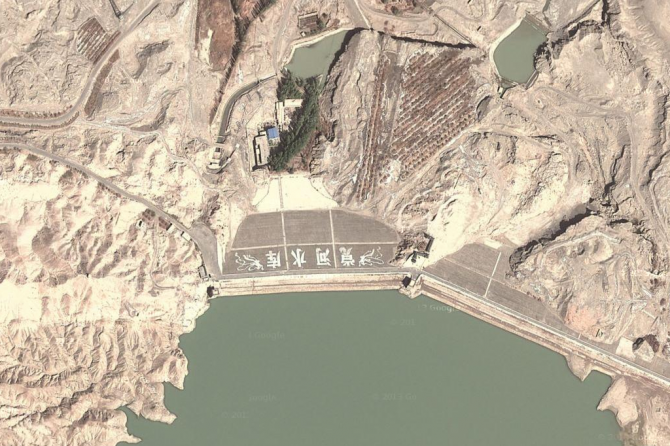
There’s an unmarked road that joins a lot these structures and patterns up so I followed it eagerly with my cursor and it ends up at this place near the town of Dunhuang. This place doesn’t look so suspicious.

Along that same road there are weird cut outs into the rocky edges of the road. It looks like a massive tiger has scratched the earth. That’s the best explanation I can come up with.

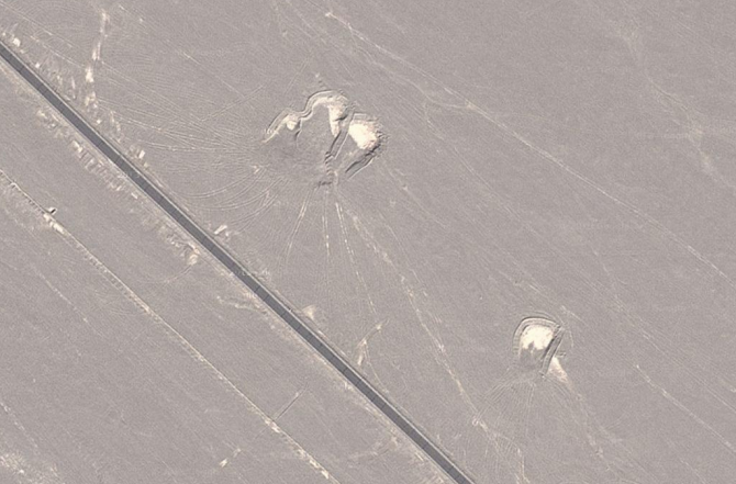
There are these sorts of things along the side of the road too. What’s going on here? I think this might be collections of dust scraped from the road to keep it clear, maybe?

Theories on the origins of these grids are splattered across the internet of course. Aliens being one explanation, which kind of isn’t worth discussing because it isn’t aliens. Another theory that is pretty far fetched but possible, is that the Chinese government are spending money on putting weird structures in the desert to distract the US government from what they are really doing. In other words, if the US are spending time and money on looking at shapes in the desert they have less time and money to design and manufacture weapons.
The US has used these sorts of tactics in the past, as have the UK in times of war, but I don’t buy it. It’s not like China wants to fight any of us, we pay it too much money to make all of our crap for us. And anyway, America has a literal butt load of weaponry, so a little time wasted on Google maps isn’t going to make too much difference if they do decide to try and smash us up.
☛ Next Up: Huge Dick Discovered On Google Maps


